Obtenga más información sobre las soluciones de Seequent en cualquier lugar y en cualquier momento con nuestra gama de vídeos bajo demanda.

Serie de Webinars | Minerales Críticos – Episodio 2: Litio
En este webinar hablamos sobre aplicaciones de modelamiento para en exploración de Litio, planificación de sondajes para producción y visualización ...
Answer Hour: Nuevas funciones de GeoStudio
GeoStudio 2024.1 continúa desarrollando la solución de análisis geotécnico de Seequent, con la incorporación de muchas nuevas funciones en SLOPE3D ...

Estimaciones de recursos listos: trucos que quizás no conozca
Leapfrog Edge es un módulo que amplía el flujo de trabajo dinámico de Leapfrog, ya que ofrece herramientas integradas para ...

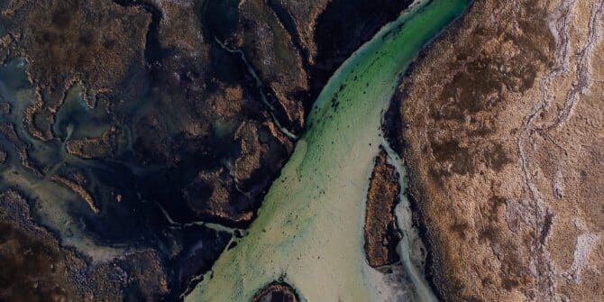
Modelado geofísico-geológico 3D: Flujo de trabajo para la exploración de cuencas sedimentarias
En este webinar presentamos el flujo de trabajo para el modelado geofísico-geológico utilizando las soluciones Leapfrog Energy, Oasis Montaj (GM-SYS) ...
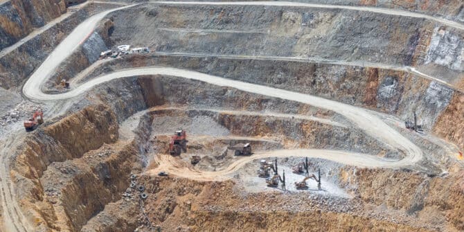
Maestría en voladura: flujos de trabajo de Leapfrog para el mapeo de barrenos de voladura
En este seminario web, mostraremos los flujos de trabajo de Leapfrog Geo que pueden ayudar a los geólogos de producción ...
Serie sobre Minerales Críticos – Episodio 1: Cobre
En el primer webinar de esta serie, damos una breve introducción al tema de los "Minerales Críticos" y luego nos ...
GeoStudio 2024.1 – Novedades
GeoStudio 2024.1 sigue desarrollándose a partir de la solución de análisis geotécnico de Seequent: agrega nuevas características para abordar problemas ...

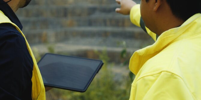
Un flujo de trabajo geotécnico conectado: la clave para proyectos de infraestructura seguros y sostenibles
Adquiera los siguientes conocimientos: Integración y visualización de los datos disponibles del subsuelo Interpretación de datos del subsuelo para facilitar ...