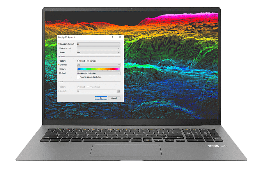
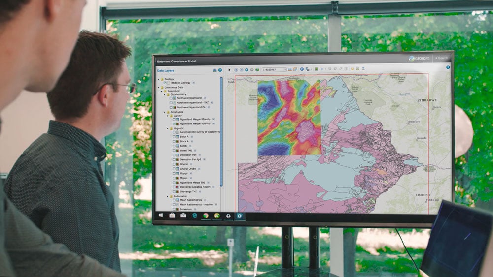
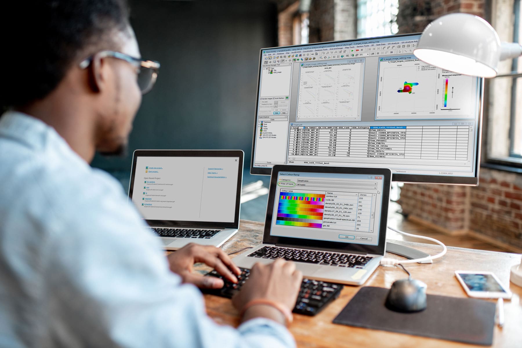
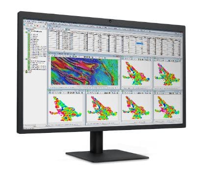
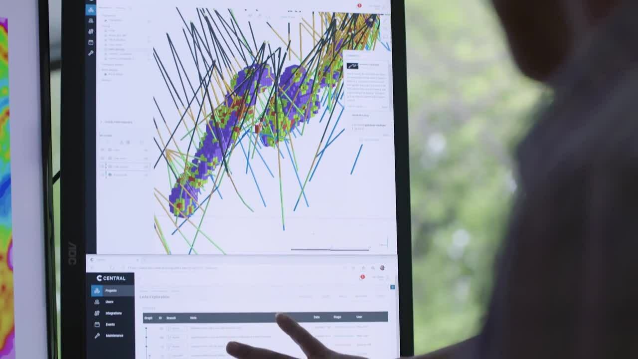
search

Transform data into decisions with Oasis montaj

Visualise, analyse, and integrate all your geoscience data.

Get a demoView Extensions

Setting the standard in geophysics modelling for over 30 years

– and still evolving

Process big data with ease

View, QA/QC, transform, and analysall raw data – geology, geochemistry, and geophysics – with powerful 2D and 3D modelling capabilities 

Rapidly assess and experiment with large data sets in real time, running numerous filters and processes. Spatially align all data with real-time coordinate projection. 

Integrate all geoscience data

Import, overlay, and work with more than 50 common formats from CAD to GIS, to mine planning and modelling. Directly import data from many online geoscience repositories.

Bring geoscience data together to build the most complete model – and easily pass off files to teams working with different formats. Code your own processes through the Oasis montaj open API.

Customise your workflows

Each project is unique. Record and automate repetitive and complex data processing tasks. Streamline team workflows and save time – so you can focus on generating insights.

Plus, add on specific tools and workflows for the geoscience data you need with Oasis montaj extensions.

Extend your data processing power

Select from over 25 Oasis montaj extensions to visualise, QA/QC, process, and interpret specialised data, including ground and airborne/UAV surveys, magnetic and gravity, resistivity, radiometrics, geochemistry, and geology.

Extensions

Oasis montaj provides a powerful way of visualising your data, and it allows you to combine different data sets, in different ways, to make the best use of all the data you have available.

Mark ParkerManaging Director

One of the things that Geosoft has been very good at, is visualisation. Oasis montaj is an excellent package for creating beautiful images of geophysical and geochemical data.

Julian MisiewiczConsulting Geologist

In over 100 countries, professionals are using Seequent technologies to tackle challenges in the geosciences.

Share a common understanding

Learn more about the power and flexibility of Oasis montaj

Environmental

Finding Faults: Improving Human Safety in Earthquake-Prone Areas

Humans have coexisted with potential geological and other natural disasters since the dawn of time.…
Environmental

Drones, making light of geophysical surveying

With development initially driven by the military, drones have expanded into a plethora of new…

Discover Oasis montaj

Try it today

Advance your geoscience data analysis

Work seamlessly across geoscience and GIS environments with built-in Esri integration and plug-in connectivity with MapInfo.

Import and organise project data

Import and work with more than 50 supported data types and formats. Efficiently store large geoscientific datasets in high-performance databases to improve data access.

Real-time coordinate projection

Have data in Latitude and Longitude, and in Easting and Northing? Oasis montaj automatically aligns geospatial information when you overlay data, no matter the format. Re-project data into another coordinate system in real time so you always know you’re in the right place.

Visualise geoscience data

View, manipulate, and analyse geophysics, geology and geochemistry, and data with powerful 2D and 3D modelling capabilities. Quickly create detailed models to visualise and clearly communicate your insights to other teams and stakeholders.

Integrate surface and subsurface maps

Create integrated maps using geology, geophysics, geochemistry, GIS data, and satellite imagery to increase your subsurface understanding. Create grids, add contours, geophysics, and remote sensing data to enhance your interpretations and guide decision-making.

Apply fast gridding techniques

Interpolate data to produce grids using minimum curvature, bi-directional, multi-trend, direct, tinning, or kriging gridding routines. Quickly produce 3D grids (voxels), using direct gridding, IDW, or kriging algorithms optimised for large-volume geoscience data.

Merge geophysical grids

Rapidly and accurately merge geophysical grids regardless of cell size, projection, or grid type with two advanced methods. A blending method for smoothly merging grids and a suturing method for manually defining the join path.

Find and extract geospatial data

Find, display, and extract geospatial data from a variety of data servers for complete investigation and informed decision making. Search internal as well as public servers, including Geosoft DAP and WMS servers without leaving Oasis montaj.

Link common features or areas of interest

Click on a point on a map and immediately see the exact data point within the database, profile, graph, map, model and/or data view in one, two and three dimensions to make QA/QC, anomaly location, and target selection more efficient.

Share maps and data

Easily connect between Oasis montaj and GIS or specialised modelling applications with available plug-ins and data conversion options. Esri technology is built-in to ensure seamless creation.

Useful Information

System Requirements

We recommend you use Windows 10, with a reasonably fast processor, mid range graphics and 16-32GB of system memory.

System Requirements

Supported Data/Formats

Geosoft Oasis montaj and Target software support the following data and image formats. Some file formats require specific Oasis montaj extensions.

Data Types/Formats

Request pricing information

Contact us