


This update is for customers with a maintenance subscription.
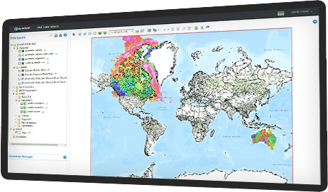
DAP Server 2025.1
Product Help
Find answers to your technical questions and get the most our of your product, with our in-depth product help information.
Knowledge Base
Access an online knowledge base of FAQs and support articles or contact support by signing in to MySeequent.
Seequent Learning
Self-directed learning using our free online courses to help you master key concepts, tools, and effective workflows.
Help & Support
Join the community discussion or get help from our support team.
Search our Knowledgebase
Access online support and help resources – learn how to install, configure, and use our products.
Submit a Support Request
Get in touch with your local Seequent support team, if you have questions or need help.
Join the Discussion
Follow discussions, ask questions, and share your knowledge with the Seequent Community.
Useful Information
Read important and trending information that useful to know about DAP.
IT Administrators
If you need to know information relating to server requirements, network details and more.
Profile & Subscriptions
Seequent ID is a simple and secure way to access and manage your essential geoscience solutions
Create & Manage Seequent ID
Update your profile information, or create a new Seequent ID if you haven’t yet.
About Seequent ID
Use your Seequent ID to access your solutions, manage your info, and update security options.
Subscriptions & Billing
Manage your subscriptions & billing, or update payment details.