People in top global companies are tackling some of the world’s most challenging problems in mining, energy, environmental and civil industries using our software. We’re responsible for providing software solutions, technical advice, and expertise that enable them to make better decisions about their projects.
Seequent Geoscience Solutions
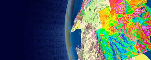
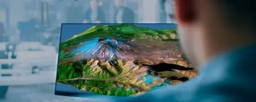
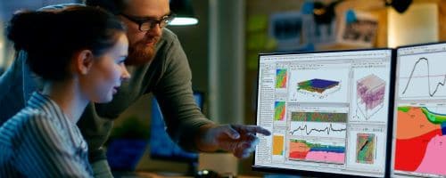
Our powerful geoscience analysis, modelling, and collaborative technologies enable new ways to solve increasingly complex problems, manage risk, and uncover valuable insights from data.
Contact SalesLocal Problems, Global Solutions
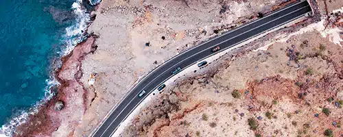
Our solutions are used on large-scale projects globally, including road and rail tunnel construction, groundwater detection and management, geothermal exploration, subsea infrastructure mapping, resource evaluation and subterranean storage of spent nuclear fuel.
Industry Solutions
In over 100 countries, industry professionals are using Seequent technologies to tackle challenges in the geosciences – and they’re delivering powerful results.
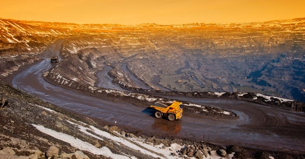
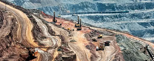
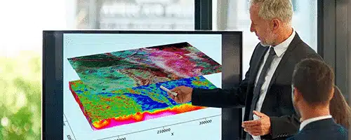
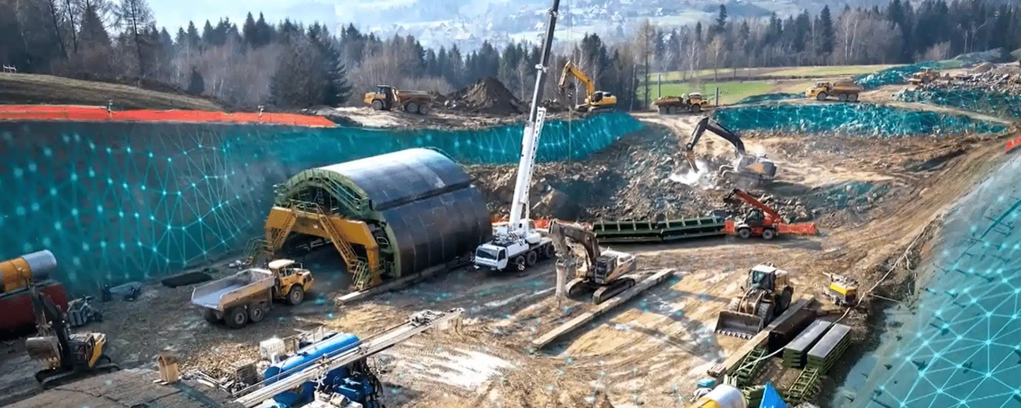
Mining
Mining and exploration software that helps you make critical decisions across the lifecycle of projects.
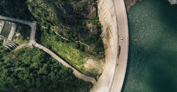
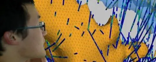
Civil
Bring together geotechnical teams to communicate a shared understanding of civil projects.
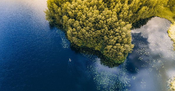
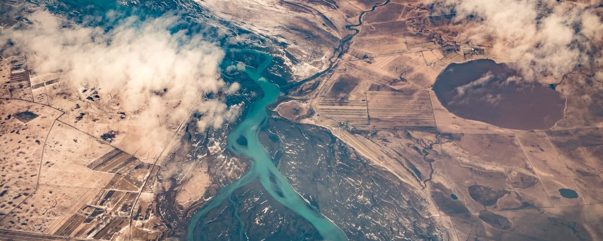
Environmental
Bring together teams and data to make the most informed decisions for environmental challenges.
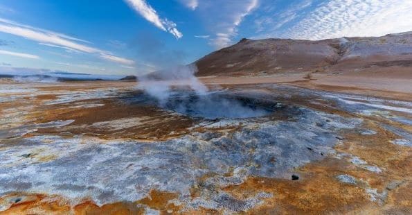
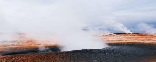
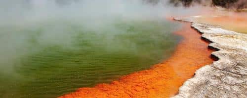
Energy
Accelerate your sustainable energy initiatives with clarity on the subsurface
Seequent Geoscience Products

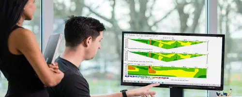
Central
Manage, track, and collaborate on geological data in a single, accessible environment.
DAP Data Management
Ensure your geoscience data is of the highest quality – in one single, accessible source.
GeoStudio
Model slope stability, ground deformation, and heat and mass transfer in soil and rock.
GM-SYS
Integrate seismic, well, and geology data with observed gravity and magnetics.
Hydro Structural Modelling
Use data to better predict the impact of aquifer structural uncertainty on water flow.
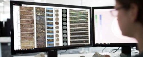
Imago
Access, collaborate, and validate data insights from your high-quality geoscientific images – enabling more discoveries and confident decisions.
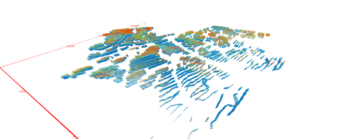
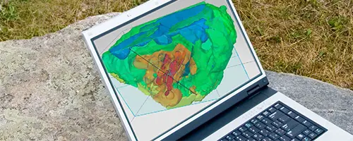
Leapfrog Geo
Integrate, communicate, and interpret geoscience data with rapid 3D modelling.
Leapfrog Energy
Make clear and confident decisions for energy development and operations.
Leapfrog Viewer
A free desktop application, anyone can view scene files exported from Leapfrog modelling products.

Leapfrog Works
Communicate insights with dynamic 3D modelling designed for civil & environmental projects.
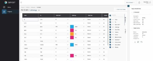
MX Deposit
Collect, manage, share, and access your drillhole and sample data in the Cloud.
Oasis montaj
Visualise, analyse, and integrate all your geoscience data in interactive 2D and 3D models.
OpenGround
OpenGround is a secure, enterprise extensible platform solution for geotechnical information management.
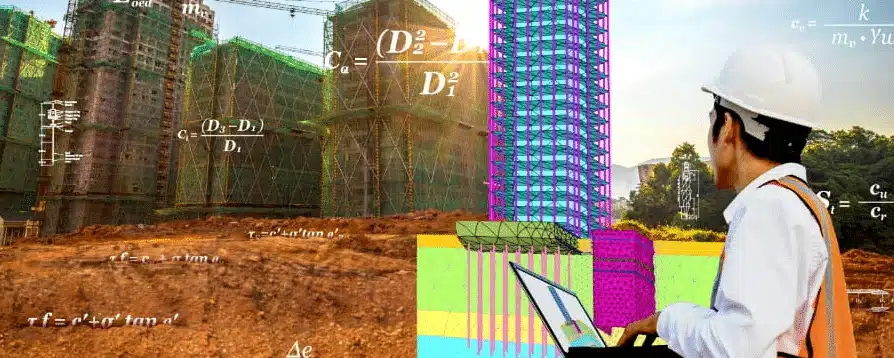
PLAXIS
Design and perform advanced finite element analysis of soil and rock deformation, as well as soil structure interaction for excavations, foundations and tunnels.
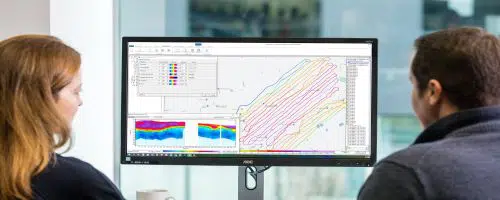
Res2DInv and Res3DInv
See results fast – easily process and invert your Resistivity and Induced Polarization data in two clicks.

Target for ArcGIS Pro
Advance your understanding of drillhole and subsurface data within Esri ArcGIS Pro.

UXO Land & UX-Analyze
Accurately locate unexploded ordnance (UXO) with onshore magnetic, electromagnetic, and advanced electromagnetic induction data.

UXO Marine
Locate unexploded ordnance (UXO), utilities, and debris with marine magnetic and gradiometer data.

VOXI Earth Modelling
Visualise the deep subsurface with Cloud-powered speed and responsiveness.
Workbench
Tailor and refine every step of your EM, ERT, or IP workflow from raw data to final geophysical models, and present results confidently.